Historic Maritime Maps
Donald Wigal
- 10 juli 2008
- 9781859956939
Samenvatting:
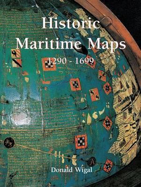
Richly illustrated with full-color artwork and maps, this informative look at cartographic history explores the use of maps during the age of exploration, focusing especially on the late thirteenth century through the seventeenth century, explaining how maps were used in navigation, how they were created, the art of map-making, and more.
€ 84,10
Bestel bij Bol.com >