Cotswold Way Map Booklet
Kev Reynolds
- 14 maart 2016
- 9781852848972
Samenvatting:
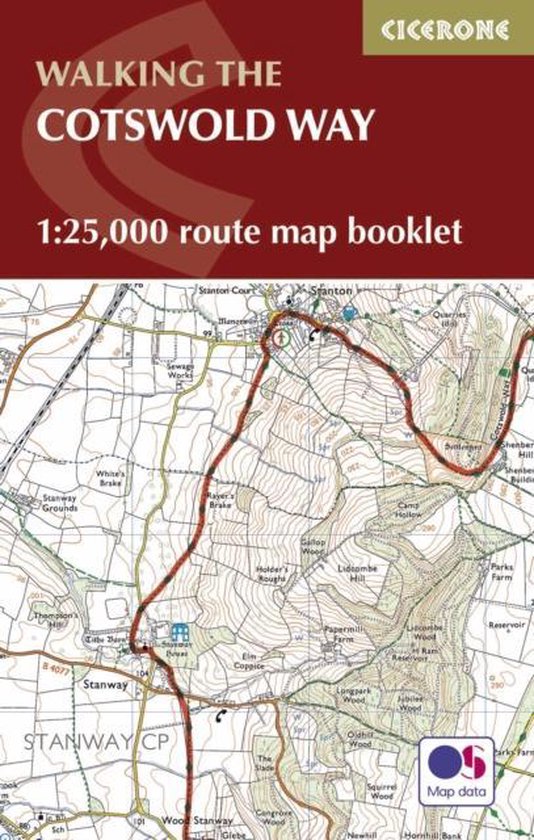
All the mapping you need to complete the Cotswold Way National Trail between Chipping Campden and Bath. NOTE: An accompanying Cicerone guidebook - The Cotswold Way - describes the full route in both directions with lots of other practical and historical information, for those who prefer a written guide. The accompanying guidebook INCLUDES a copy of this map booklet. This booklet of Ordnance Survey 1:25,000 Explorer maps has been designed for convenient use on the trail. It shows the full and up-to-date line of the Cotswold Way, along with the relevant extract from the OS Explorer map legend. It is conveniently sized for slipping into a jacket pocket or top of a rucksack and comes in a clear PVC sleeve.