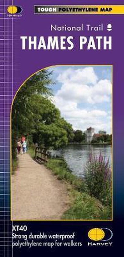
Thames Path
Harvey Map Services Ltd.
- 27 maart 2012
- 9781851375127
Samenvatting:
The Thames Path follows the banks of the river for 184 miles (294km) from the flood barrier at Woolwich in South East London to Kemble Gloucestershire. It is a long distance walking route, most of it cannot be cycled. The Trail passes through water meadows, historic towns and lovely villages. The path is flat which makes for easy walking. Jos Joslin National Trails Manager (Marketing & Projects) said of this map, Really beneficial to have the whole length of the Thames Path upstream of London on just one map. Clear mapping and useful information makes this this a very practical map. This map is printed on 100% waterproof paper which is light, durable and tearproof.
€ 19,47
Bestel bij Bol.com >