
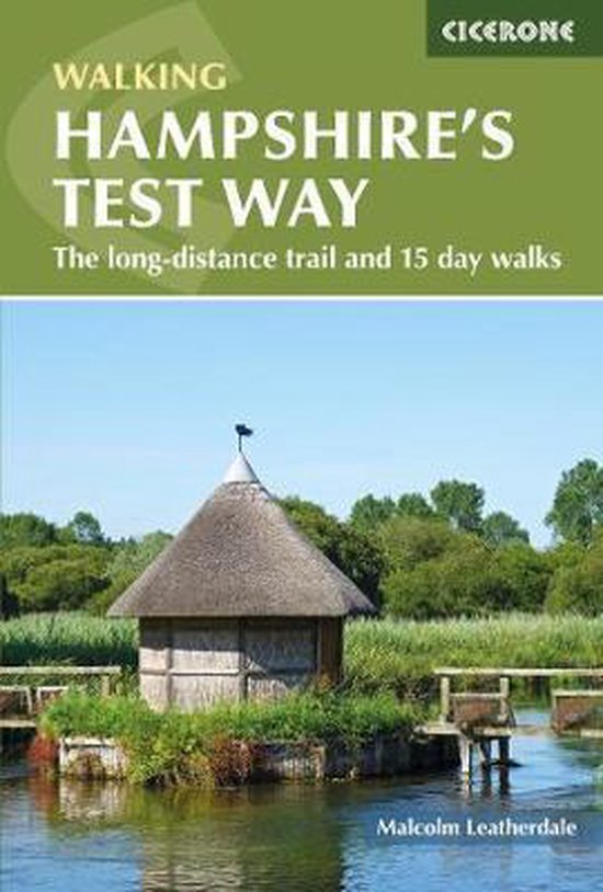
Walking Hampshire's Test Way
Malcolm Leatherdale
- 05 augustus 2021
- 9781852849535
Samenvatting:
Guidebook to walking Hampshire's Test Way, a 44 mile (71km) route from Inkpen Beacon to the Eling Tide Mill near Southampton Water. The walk, which is described over eight stages, takes in many of the region's natural, historical and architectural delights, from the ever famous 'Sprat and Winkle' railway to the River Test itself - a stunning example of the exceedingly rare chalk stream. Each stage (they range in length from 3 to 8.5 miles) is described clearly and concisely, and is accompanied by 1:50,000 OS mapping. Worth its weight in your backpack, the guide also includes information on the history, geology and landscape of the Test Valley, as well as practical information on accommodation and transport. Additionally, it describes 15 circular walks in the Test Valley, which vary in length from 3.75 miles (6km) to 8.5 miles (13.75km). The Test Way passes through areas of intriguing history and remarkable natural beauty. There are sites of Special Scientific Interest (SSSI) and Areas of Outstanding Natural Beauty (AONB) as well as Iron Age hill forts, medieval churches, age old abbeys, relics from a long passed railway era and quaint villages brimming with thatch and flint and individual 'hostelries' to match. It is a walk well suited to history and geology enthusiasts, and certainly a must for anyone interested in the iconic Sprat and Winkle railway.