Scotland
Michelin
- 14 april 2014
- 9782067192577
Samenvatting:
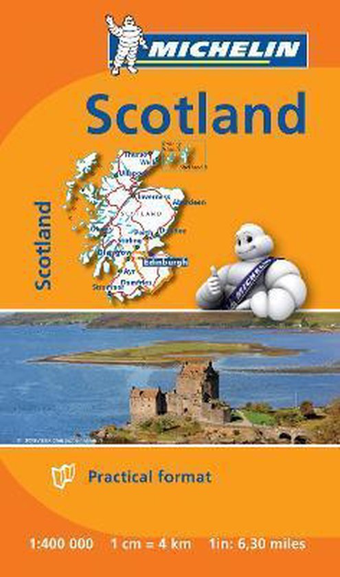
Small and practical, these maps are easy to use thanks to double sided pocket format and includes multi-language key, relief shading, spot heights and other geographical features. Ferry connections are marked but railways are not included.
(Updated 2020) In addition of Michelin's clear and accurate mapping, Michelin's road map of Scotland scale 1:400,000 is presented in a handy, double-sided pocket format. The map divides Scotland north/south with a small overlap between the two sides. Orkney and Shetland Islands are shown as insets. The map shows the road network on a base with relief shading, spot heights and plenty of names of glens and other geographical features. Ferry connections are marked but railways are not included. Our National Map Series will help you easily plan your safe and enjoyable journey thanks to a comprehensive key, a complete name index as well a clever time & distance chart. Michelin's driving information will help you navigate safely in all circumstances. In addition, some MICHELIN National Maps are cross-referenced with the MICHELIN Green Guide highlighting destinations worth stopping for! With MICHELIN National Maps, find more than just your way! MICHELIN NATIONAL MAPS feature: * Up-to-date mapping * A scale adapted to the size of the country * A clear and comprehensive key * Distance and time chart * Place name index * Driving and road safety information * Tourist sights information Our maps are regularly updated even if the ISBN does not change. (Edition updated in 2016)